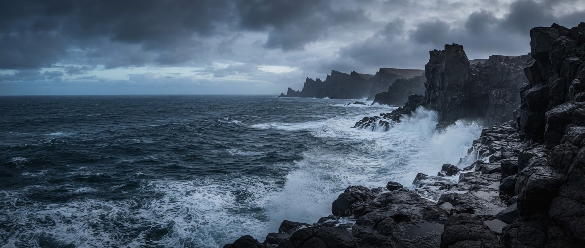
Offline-first marine telemetry
Rugged Android instrumentation engineered for open-water survival. Track precise coordinates, barometric pressure trends, and tidal currents without cellular signal or battery drain.
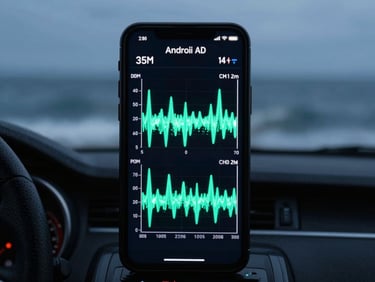
Engineered for the elements
Zero signal required
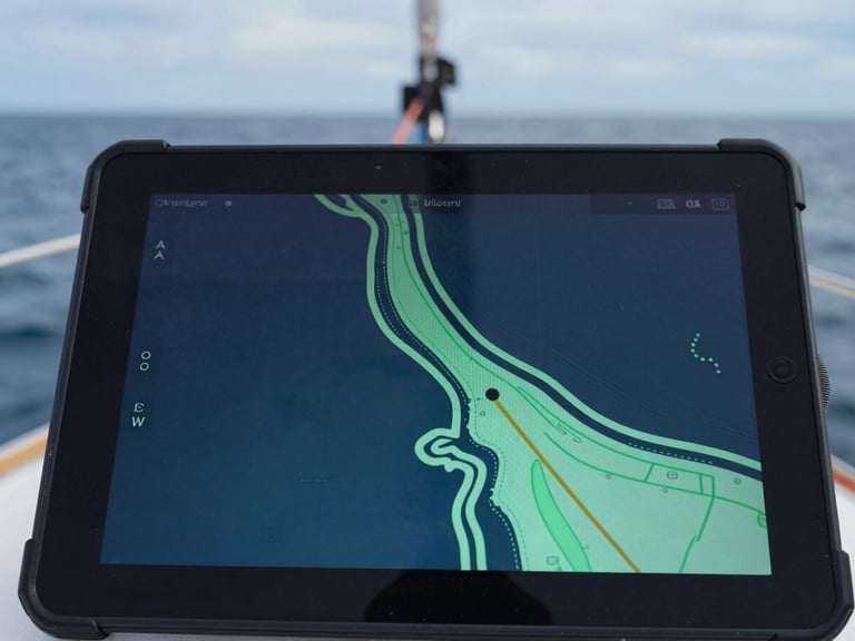
Our offline-first architecture caches high-resolution vector charts and GPS tracking coordinates directly on your device. Navigate open waters safely with zero cellular dependency, even in the most remote coastal corridors.
Real-time marine telemetry
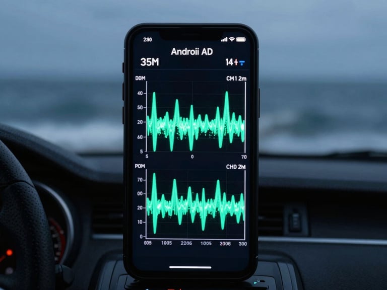
Connect directly to onboard NMEA sensors or utilize internal device hardware to monitor wind speed, barometric pressure shifts, and tidal currents on a unified, high-contrast dashboard.
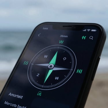
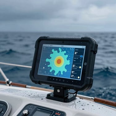
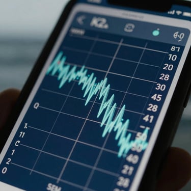
High-contrast telemetry screens
Engineered for legibility in the most demanding marine environments. High-contrast layouts remain readable under direct midday glare and preserve night-adapted vision during late-night oceanic crossings.
Set your course
Equip your Android device with professional marine telemetry tools built specifically for open-water survival. Experience native performance with zero tracking and zero ads.
WEALTH MARINE
Offline-first telemetry and atmospheric ocean games for Android.
Home-Apps-Engineering-Contact
TELEMETRY
android@wealthmarine.com
Coordinates: 43.6532° N, 70.2549° W
Built for the open water.
© 2026 WEALTH MARINE-Engineered for open-water survival and deep ocean exploration.
OFFLINE-FIRST • ZERO-AD • NATIVE